091-5758564, 081-6679233 ,02 7035192
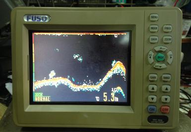
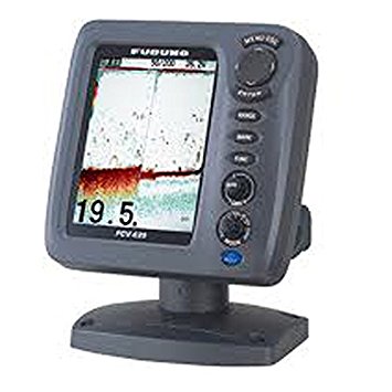
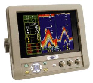
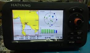
ดาวเทียม+ซาวเดอร์ HAIYANG HD-50CF จอ 5นิ้ว หัวทองเหลืองความถี่ 200KHz
Operation Manual
CHARTPLOTTER
- LED Backlight Display
- Internal GPS Antenna
- Three Chart System
-
- Windows OS
- Outdoor user available
- Multi – language
- Various AIS information
FISHFINDER
- Full Digital Fish finder
- High analysis of the underwater
- Dual frequency ( 50/200 KHz )
- Full /
- Rich color tones available
- Fish symbol
- Dual output power ( 300W/ 600W )
Important Notice
Manual Handling Keep this manual in a safe place where you can access it quickly.
The Global Positioning System ( GPS ) consists of a total 24 GPS satellites that orbit the earth, enabling you to determine your position anywhere in the, 24 hours a day, if you can receive satellite signals. During actual navigation, carefully compare the position date with all available navigation sources such as Loran C, Decca, other navigation chart, visual navigation, depth, water temperature and other. It is your responsibility to make navigation judgments.
The Electronic Chart: Only official authorized charts and notices to mariners contain all the information needed for the safety of navigation and, as always remember, the user is responsible for their prudent use.
Installation Cautions
Follow installation instruction to avoid personal injury and system malfunction
Installation in rigid location. Mount your Smart 4/ 5 series on a rigid frame or base to prevent your unit from working loose.
Use correct Installation materials. Use the installation materials provided in the standard accessory pack only. If you use hardware of insufficient strength, your system may loosen causing damaged.
Keep away from direct sunlight. Keep your system out of direct sunlight as it may become damaged by overheating.
Keep away from water. Take care not to get water on or in your unit as it may be damaged and / or cause an electrical shock.
Keep away from heat source. Keep your system away from other heat source as it may malfunction, be damaged, or burn.
User correct power source. Operate your system within the specified power voltage. An incorrect power supply may cease
AIS getting started
AIS is an Automatic Identification System. It has been introduced to improve the safety of navigation by assisting in the efficient operation of ship to ship, ship reporting and VTS applications. The system should enable operation from the ship automatically, requiring a minimum of involvement of ship’s personnel, and should have a high level of availability.
Connecting to the chart plotter an AIS receiver, vessels with AIS transponder within VHF range are displayed on screen giving he skipper or navigator a visual interpretation of the data of nearby vessels This improves safety, and specifically for collision avoidance reason.
|




 สินค้าที่เกี่ยวข้อง